 Ian Cheeseman
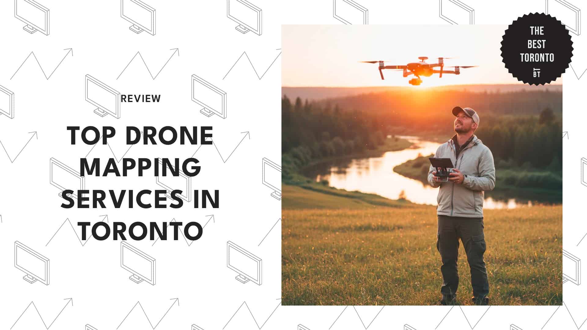
When I dropped by my friend’s real estate office, he showed me one of their drone mapping projects. It blew my mind.
Watching how those aerial shots turned into detailed 3D maps of properties was amazing. It really changes the game, not just in real estate, but also in construction, surveying, and tons of other industries.
For those who need specific sites to be mapped with precision, we rounded up the top drone mapping services in TO.
How much does drone mapping cost in Toronto?
In Toronto, drone mapping usually costs around $200 to $1,500 per project, depending on factors like area size, terrain complexity, and the level of detail.
Smaller real estate shoots tend to be on the lower end, while precision mapping for construction sites costs more.
1. Aeromao
Business Address: 6033 Shawson Dr, Unit 27, Mississauga
Website: https://aeromao.com
Instagram: https://www.instagram.com/aeromaoinc
Contact Details: +1 647-928-4747
Business Hours: Mon – Fri: 8 AM – 6 PM
Aeromao is a UAV manufacturer that actually builds its own aircraft. They’re known for their signature Aeromapper series of fixed-wing drones.
These babies handle pretty much anything—Beyond Visual Line of Sight missions, mountain terrain, coastal zones, and extreme weather like Arctic winds or desert heat. They can even map up to 30 square kilometers a day!
Plus, they collect everything, from RGB imagery to thermal data, making them ideal for a wide range of industries.
We also appreciate their end-to-end drone mapping solutions, which include orthophotos, photogrammetry, NDVI, video surveys, and digital terrain models. Simply choose which one you require, and they’d be happy to provide it.
If I had to nitpick, the only downside would be their customer service staff, who are said to be rude at times.
Incredibly responsive and helpful
“I recently had the pleasure of interacting with Aeromao while considering their mapping drones for my project needs. From the initial inquiry to the final decision-making process, Aeromao’s team was incredibly responsive and helpful. Their prompt and thorough responses to all of my questions demonstrated their deep understanding of their products and dedication to customer satisfaction. Whether it was about technical specifications, pricing options, or support services, Aeromao’s team was always there to provide clear and detailed answers.”
– Giovanny Camargo, Google Review
Innovative designs for use in specialized areas
“Excellent option for those who require UAS with distinctive characteristics. I really like their innovative designs for use in specialized areas.”
– Dario Prada, Google Review
2. First Class Drones
Business Address: 2700 Dufferin St, Unit 26
Website: https://www.firstclassdrones.ca/
Instagram: https://www.instagram.com/firstclassdrones.to/
Contact Details: +1 647-309-3044
Business Hours: Mon – Sun: 9 AM–6 PM
Misha has been obsessed with RC tech since he was 13. This spark led him to create First Class Drones, a company focused on delivering creative, high-quality aerial footage that’s shot legally and safely.
Their drone mapping services produce data that reflects an accurate environment through 2D, 3D, and LIDAR mapping. They can achieve millimeter-level accuracy and a Ground Sample Distance of less than one centimeter per pixel.
What’s cool is that you can use their data to calculate area, volume, or point-to-point measurements. We think this is great for tracking progress and spotting issues early.
As a bonus, their deliverables come in multiple formats, which work for all types of projects: construction, urban planning, or site analysis.
Due to their precision technology, it’s not surprising that their pricing is on the higher end.
Best drone crew I’ve ever worked with
“Best drone crew I’ve ever worked with. responsive and organized. They got us exactly what we needed in extreme circumstances and also delivered beyond, bringing creative solutions to the table. highly recommend!”
– Laura Serra, Google Review
Extremely flexible and met my short timeline
“Misha was absolutely fantastic to work with! I knew he’d be great because of his excited energy when I first reached out. Throughout the process, he was very helpful and always took my requests very seriously, even when they sounded ambiguous, like “I want cool flips”. Furthermore, he was extremely flexible and met my short timeline with no hesitation at all! And even upon delivering the final product, which was incredible, he was willing to continue to make edits if we needed any! I’d highly recommend hiring first-class drones for your needs!”
– Nashid Chowdhury, Google Review
3. Videodrone
Business Address: 90 Adelaide St E
Website: https://www.videodrone.ca/
Instagram: https://www.instagram.com/videodrone_ca/
Contact Details: +1 289-987-0747
Business Hours:
Mon – Fri: 9 AM – 7 PM
Saturday: 9 AM – 8 PM
Philippe Saint-Martin is a commercial aviation pilot with more than 25 years of flying under his belt. After a decade of drone experience, he decided to swap cockpit controls for drone joysticks and create Videodrone.
Using purpose-built drones and specialized software, they create highly precise 2D and 3D maps that can be compared over time to track progress.
Their tech can also analyze terrain elevation, measure distances, and generate data-rich visuals with accuracy between 1 to 5 cm. Even large areas (up to 1.3 acres) are no problem for them—perfect for construction, surveying, or land development.
Their architectural 3D mapping is really cool. You can show them a view from Google Earth Pro and specify the time of day, and they’ll create a matching aerial rendering that looks movie-worthy.
The only catch is that their services can be a bit pricey.
Monthly mapping really gave a thorough overview
“Our Videodrone experience was great on all accounts for our major construction project. The topographical mapping was a great tool at the start of the project. The monthly mapping really gave all shareholders a thorough overview of the project, and the time-lapse video at the end of the project provided a great tool for our marketing team for future projects. Thank you, Videodrone!”
– Rob Vander Velde, Google Review
Was able to put together a great demo
“I have worked with Videodrone on many occasions, and they do not disappoint. They came to film a construction project for us within a few hours and were able to put together a great demo to show off our work. Will be working with them in the future.”
– Jean Denis Marcellin, Google Review
4. SkySnap
Business Address: 231 Millway Ave #1, Concord
Website: https://www.skysnap.ca/
Instagram: https://www.instagram.com/skysnap.ca/
Contact Details: +1 877-503-8837
Business Hours:
Mon – Fri: 9 AM – 6 PM
Sat – Sun: 11 AM – 3 PM
SkySnap is a drone company that offers photography, videography, surveying, and mapping services. They operate under a Standing SFOC permit, which means they’re fully licensed to fly day or night.
2D and 3D mapping is their expertise. They use a mix of advanced UAV systems and software to capture incredibly accurate data.
Their fleet includes drones equipped with camera systems from 12MP all the way up to 42MP. You can even choose to add attachments such as laser scanners and thermal cameras.
We like that they don’t just stop at mapping. They can perform detailed studies such as elevation mapping and stack volume analysis.
One thing to note—we heard that they can be hard to book during busy construction seasons. You might want to plan ahead.
Best aerial shots I’ve ever seen
“I’ve had a few experiences with drones, but this guy gets the best aerial shots I’ve ever seen. I was impressed with the quality of the photos and videos and also the customer service that I received. Highly recommended! Thank you again.”
– Dan Lubavin, Google Review
Able to fully turn around in 1 day
“Used SkySnap to do pre-development marketing drone photography for 4 properties already. They did a marina, condo and town homes, and a hotel for us. Very good company to deal with, they have some seriously innovative products that they offer that we couldn’t find anywhere else. They also did 3d ortho mapping for one of our developments, which they were able to fully turn around in 1 day (literally an impossible task). Best drone photography company all around.”
– BB P, Google Review
5. UAV Ontario
Business Address: 50 Dunlop St. E, Suite 220A, Barrie
Website: https://uavontario.com/
Facebook: https://www.facebook.com/UAVOntario
Contact Details: +1 437-826-2646
Business Hours: Mon – Fri: 8 AM – 6:30 PM
UAV Ontario is fully licensed to operate in all airspace across Canada. Their team is composed of pilots with years of experience flying both manned and unmanned aircraft, which shows that they know what they’re doing.
Their drones are packed with high-resolution cameras and live-streaming capabilities, giving clients real-time visuals and data right as the mission unfolds.
A key offering is their orthographic mapping. They take aerial photos from different angles and stitch them together into a single, map-like image.
Vegetation mapping is another highlight, which we believe is awesome for agriculture and environmental projects. Their drones have multispectral IR sensors that can detect plant health and vegetation density.
Other services include road and corridor, LiDAR, and construction mapping. Of course, advanced tech like theirs comes at a price, so be prepared.
First-class service with excellent quality!
“Amazing job done by these guys! First-class service with excellent quality! I will be using UAV Ontario in the future 😀”
– Damian Van Greunen, Google Review
Over the moon with the service and results
“Dancor used UAV Ontario for our 181,000 sqft industrial build project in Barrie, and we were over the moon with the service and results. We would recommend them for any small to large-scale projects. They were very helpful, flexible, attentive, and fast from start to finish. It was a breath of fresh air to work with them.”
– Dancor Construction Ltd., Google Review